Extension of the operational "Space Emergency System" towards monitoring of dangerous natural and man-made geo-processes in the HU-SK-RO-UA cross-border region
- AcronymGeoSES
- CallHUSKROUA/1702
- Priority8.1: Support to joint activities for the prevention of natural and man-made disasters as well as joint action during emergency situations
- Project numberHUSKROUA/1702/8.1/0065
- EU Funding844,294.68 €
- Project start date1 December 2019
- Project end date30 November 2021
- Websitehttps://www.uzhnu.edu.ua/
- Project statusIn progress
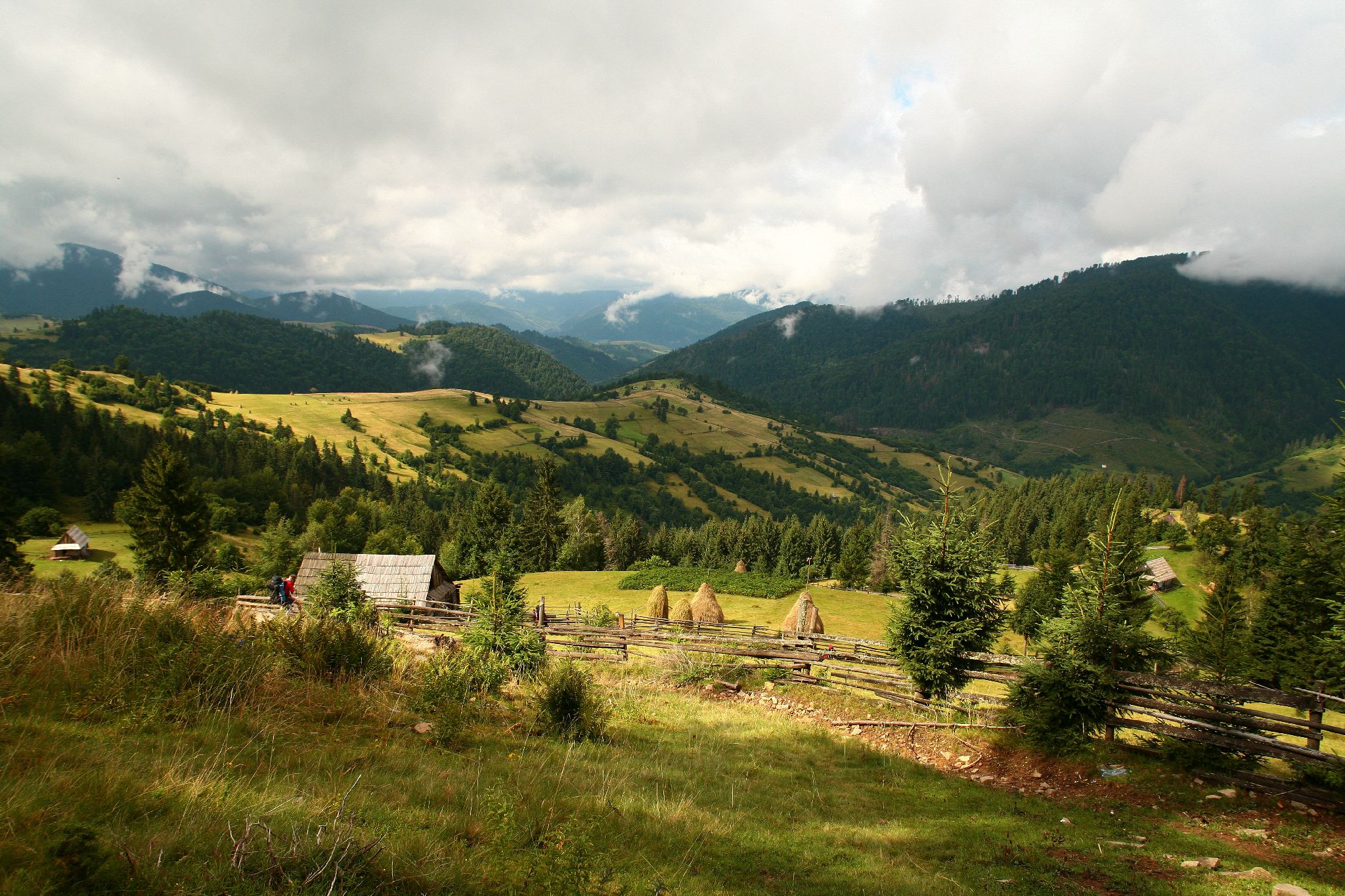
Over the past decades in the Carpathian Euroregion cases of ecological catastrophes have become more frequent. Territories with the observed deformations of the earth surface (recent geotectonic movements, landslides) are found in relatively densely populated areas, in industrial, agricultural, urban recreational areas, and in landscapes with varying level of nature conservation. Any surface displacements due to hazardous processes can destroy structures of different types on the earth surface, endanger the human lives and property and seriously impacts the success of environment protection. Due to climate change, the border areas of HU-SK-RO-UA is more and more endangered by sudden and strong meteorological events (heavy rainfalls, snowfalls, landslides, and mudflows) causing severe floods threatening the population and economy. After all, in addition to active karst formation (Solotvyno), there is a probability of salty mineralized water entering the Tisza River. The cyanide spill at Baia Mare in 2000, which then eliminated life for a while in the Tisza River. Thus, there is a need for a comprehensive assessment of threats and risks in the Carpathian region. The detailed deformation monitoring of the land surface in the HU-SK-RO-UA region is not solved, yet. Therefore, an overall analysis of the recent surface deformations is proposed to obtain detailed knowledge about the current situation as well as to be able to identify the focus areas of further local studies to assess the risks associated with surface deformation (i.e. landslides, uplift, subsidence). We do plan to exploit the most modern satellite technologies (radar interferometry, CNSS) to reach this target. The overall objective of the project is to reduce social and economic losses and risks to human health and life caused by natural disasters in this area. GeoSES will be provide information and services that help identify danger of emergencies and will alert population about for their emergence.
- Disaster prevention


